How the US Space Force tracks everything orbiting Earth
If you've ever pointed your antenna to the sky waiting for your satellite, you know the drill. There are a lot of moving objects in space, and knowing exactly where they are is important. For a ham playing with birds, it's a matter of a good TLE and a good app. For the US Space Force, it's a full-time job involving radars, telescopes, and a worldwide network of sensors watching dozens of thousands of objects at the same time.
What it is
The Space Surveillance Network (SSN), operated under the US Space Force with their Space Delta 2 unit, detects and tracks almost everything in orbit. There're like more than 35k things in the catalogue, that can be satellites like the ones you know (ISS, etc.), but also debris and rocket bodies.
This catalogue feeds the website Space-Track.org, the official place run by the 18th Space Defense Squadron. Then you've got almost every app and website using it, like, of course, AllMySat. So, when your app says "hey, your satellite is rising at 67 degrees over the northwest in six minutes," you now know that before this sentence, the prediction started from a raw measurement coming from sensors, then got processed into an orbital element set (TLE), and then was crunched by a CPU to give you that information.
The SSN stations around the world
What they do
The main job is always having an accurate catalog for everything larger than around 10cm, on multiple orbits.
For two main reasons:
- Avoid collision. Cause if two objects go straight to each other, sensors flag early enough to say to operators "hello, move your sat please".
- Launch support. Before a rocket lifts off, it's better to know how the trajectory will look, to avoid an accident...
Anyway, you're doing the same by checking your passes, but if you miss one, you lose a contact, that's fine, but if they miss what we call a "conjunction", then you're gonna have plenty of debris cloud that can be a real threat for the other birds, so it's like a chain reaction.
Also, the network tracks suspect satellite activity, but let's keep that topic for another article :)
How it works, in broad terms
Most technical details are classified, but here's an overview.
Ground radar is for low orbit tracking. It works well for that cause it doesn't have to deal with sunlight or clear skies, unlike optical sensors. If you've ever experienced the Doppler shift, you should have an intuitive feel on how radar tracking works too, but just with way more power behind it.
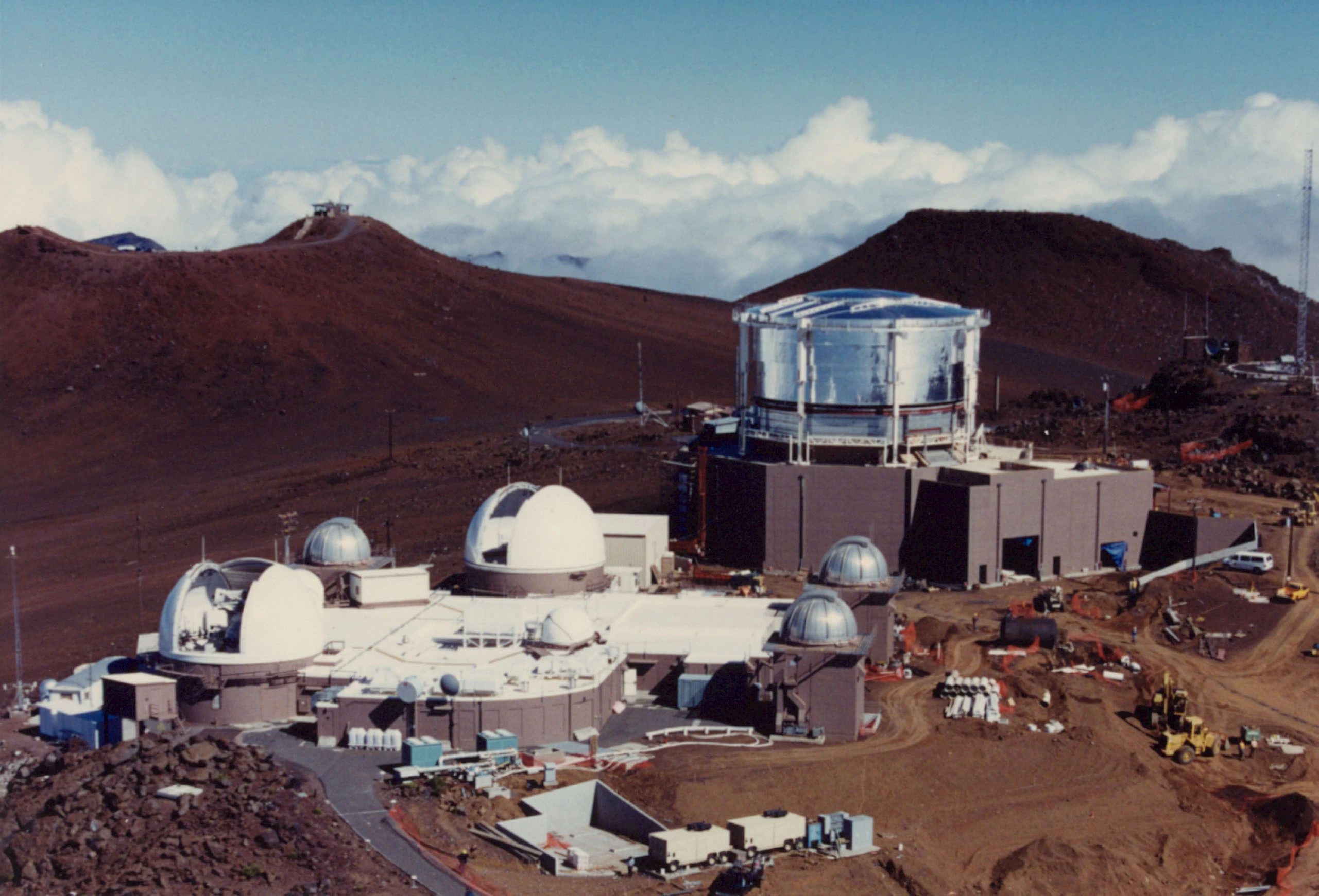
Optical telescopes take care of higher orbits, like geostationary satellites. Radar return gets too weak at that distance, so telescopes photograph sunlight reflecting off the satellite instead. It only works at night, when the sat is still lit by the sun but the ground station below has already slipped into darkness.
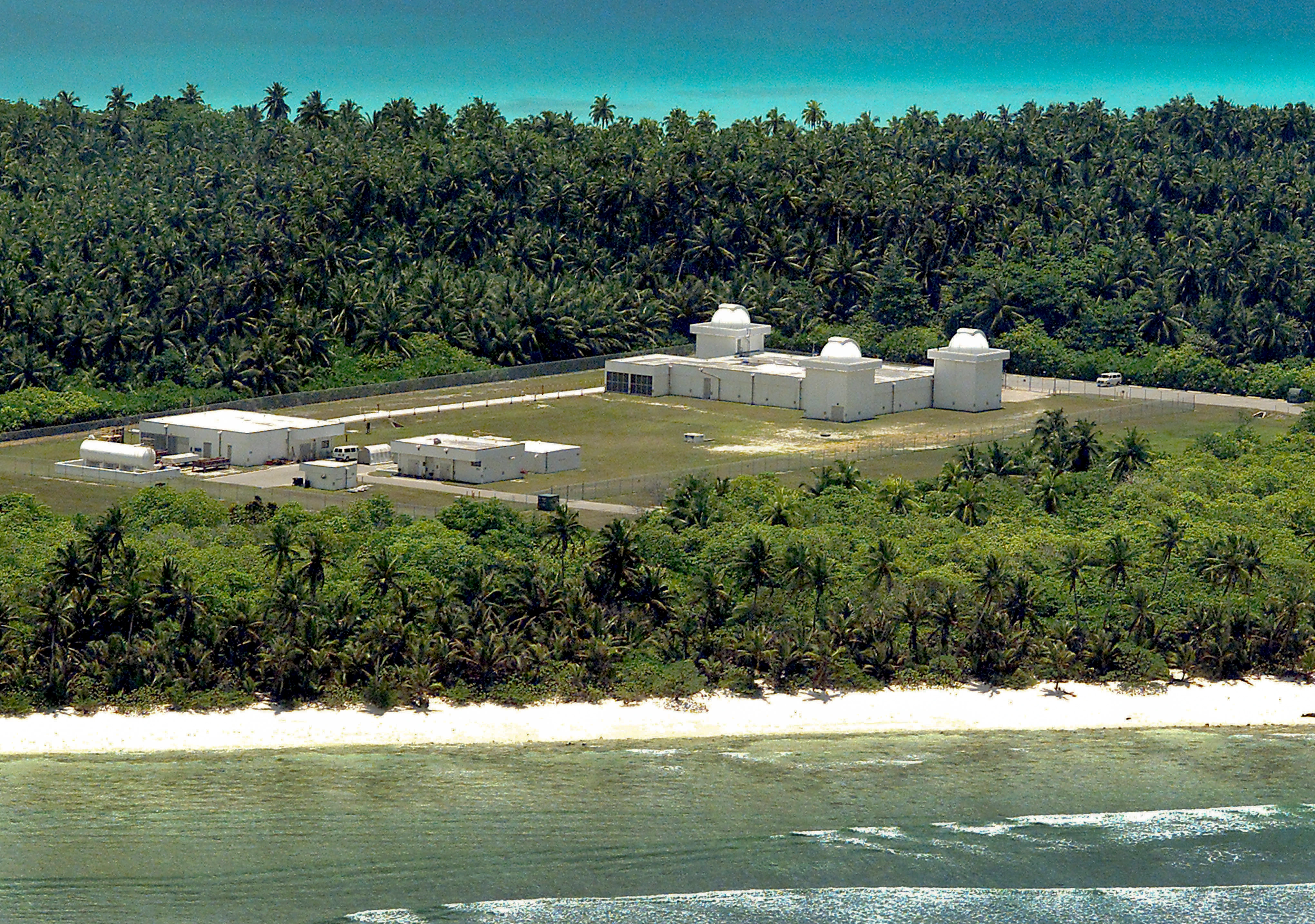
Some space-based sensors watch their friends, the other satellites, without atmospheric interference.
Finally, everything feeds the Combined Space Operations Center (CSpOC) that does the magic, turning all that into TLEs and shipping them off to Space-Track, then out to public trackers.
Why it matters
Nowadays, low earth orbit is crowded, between constellations like Starlink adding thousands of satellites and decades of leftover debris. Even if distances are wide in space, we have to keep an eye on all of this. Every collision avoided means one satellite that keeps living, and one less debris threatening the other satellites, including the ones we love to play with.
Space-Track isn't perfect, though. Some satellites don't have fresh orbital elements there, and the data published directly by the satellite operators themselves is often more up to date. So it's very important to choose a tool that shows you the freshness of TLEs and uses different sources to find the best, like AllMySat :)
Anyway, keeping the catalog accurate is something nobody notices until something fails, so next time you follow your tracking tool to point your antenna precisely at the sky, you know how it works (kinda).